

Many travelers struggle to understand how to navigate Mauritius and often miss key experiences because the island’s attractions are spread across distinct regions. This guide is for visitors planning a trip who want a clear way to structure their itinerary using a Mauritius travel map and understanding what regions are highlighted on a Mauritius travel map. You’ll learn how each region differs and how to plan your route efficiently to combine beaches, nature, culture, and adventure in one balanced journey.
Key Regions You’ll See On A Mauritius Travel Map
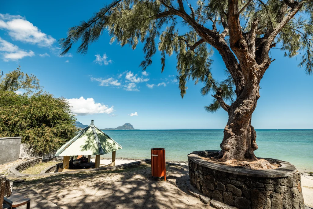
A Mauritius travel map highlights distinct regions across the island, each offering unique scenery and experiences. When asking what regions are highlighted on a Mauritius travel map, travelers will discover coastal areas, lush inland landscapes, and vibrant towns rich in culture and local cuisine. Understanding these regions helps create a holiday tailored to your interests, from water sports and beach escapes to cultural attractions and nature adventures.
The island is commonly divided into the Northern Coast, Western Shore, Southern Tip, Eastern Coast, and central plateau. While beaches remain a major attraction, inland areas also feature nature reserves, waterfalls, and historic landmarks that add variety and depth to any itinerary.
Main regions at a glance
- Northern Coast: Lively beaches, nightlife, shopping, and popular tourist hubs like Grand Baie
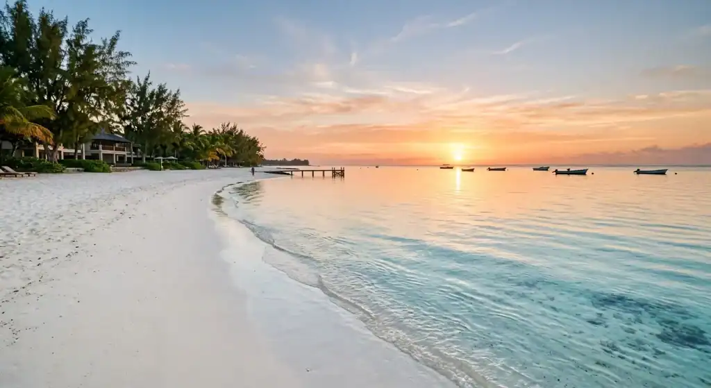
- Western Shore: Calm lagoons, sunsets, family-friendly beaches, and dolphin-watching spots
- Eastern Coast: Quiet, peaceful beaches with luxury resorts and open lagoons
- Southern Tip: Rugged cliffs, dramatic scenery, and adventure activities like kite surfing
- Central Plateau: Forests, waterfalls, hiking trails, tea plantations, and cooler inland climate
Discover The Vibrant North
Northern Mauritius is known for lively towns, popular beaches, and vibrant entertainment. Grand Baie serves as the region’s social hub, offering shopping, beachfront dining, and nightlife. For a quieter experience, Pereybere Beach features calm waters ideal for swimming and snorkeling. Local village markets also provide a glimpse into everyday island life with fresh produce and spices.For extra inspiration on other must-visit spots, you might want to explore where to go in Mauritius.
Explore The Western Shore
On Mauritius’ western coast, travelers can enjoy natural beauty and a relaxed atmosphere. Flic en Flac Beach is known for its long white-sand shoreline, calm lagoon, and excellent snorkeling spots. Further south, Tamarin Bay attracts surfers, families, and couples with its scenic mountain views and gentle climate. Visitors may also spot dolphins offshore or join boat tours for a closer wildlife experience.
Experience The Southern Tip
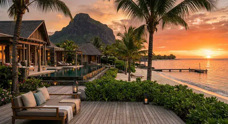
Southern Mauritius offers a rugged landscape with dramatic cliffs, rocky shores, and stunning ocean views. Le Morne Peninsula is popular for kite surfing and scenic coastal drives. Inland, Chamarel is known for its colorful earth formations, waterfalls, and authentic local cuisine, making it a must-visit destination for nature and culture lovers.
Roam The Eastern Coast
For a quieter escape, eastern Mauritius offers peaceful beaches and relaxing coastal scenery. Belle Mare is known for its calm lagoon and uncrowded shoreline, perfect for relaxing walks and beachside leisure. Nearby, Île aux Cerfs is popular for water sports, boat trips, and its scenic golf course. Coastal villages in the region also provide opportunities to enjoy fresh seafood and authentic local cuisine.
Head Inland For Nature
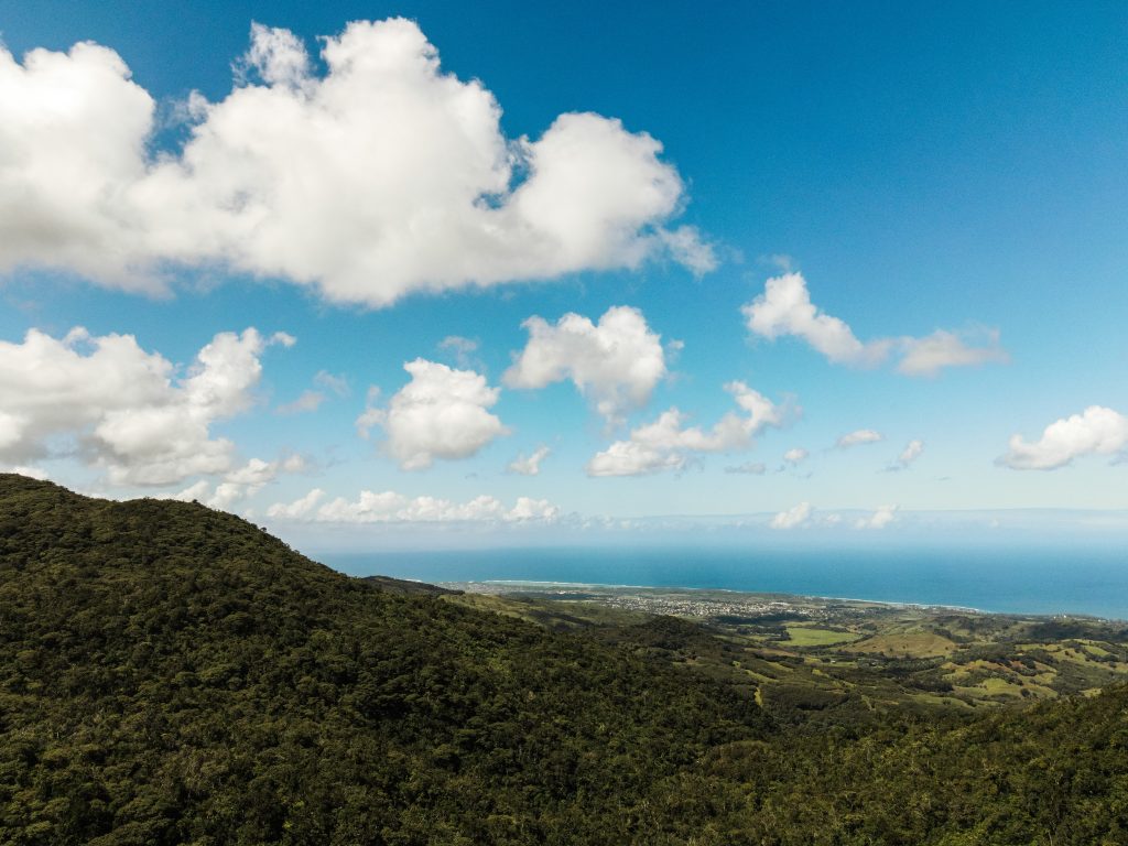
A Mauritius travel map highlights more than just beaches. The central region features misty towns, forests, and scenic nature reserves. Black River Gorges National Park is popular for hiking, waterfalls, and rare wildlife, while Sir Seewoosagur Ramgoolam Botanical Garden showcases exotic plants and tropical scenery. The Central Plateau also offers stunning viewpoints and eco-tour opportunities for nature lovers.
What Regions Are Highlighted On A Mauritius Travel Map
Understanding regions highlighted on a Mauritius travel map helps you unlock the island’s full travel potential. From lively northern beaches to dramatic southern cliffs and peaceful eastern shores, each region offers a unique experience worth exploring. With the right planning, you can combine culture, nature, and adventure into one seamless island journey.
Plan Your Mauritius Trip With Expert Local Guidance
Ready to explore Mauritius with confidence? Visit Island Route for expert travel guides, route planning tools, and insider tips designed to simplify your journey. You can also reach out through the website for personalized travel support and start building your perfect island itinerary today.
Frequently Asked Questions
1. How many regions are there in Mauritius?
Mauritius is generally divided into five main regions: the Northern Coast, Western Shore, Eastern Coast, Southern Tip, and the central plateau, each offering distinct landscapes and travel experiences.
2. Where can I find the best travel map of Mauritius?
The best travel maps can be found through official tourism websites, digital navigation apps, and airport travel centers. Many travelers also use online interactive maps that show attractions, beaches, and routes. These resources help plan daily travel routes and make exploring the island easier and more efficient.
3. How do I use a travel map to plan my Mauritius itinerary?
Start by dividing the island into regions and grouping nearby attractions together. Use the map to estimate travel times and plan one region per day. This reduces long drives and helps you enjoy beaches, towns, and nature spots more efficiently while keeping your itinerary balanced and stress-free.
4. Why is a Mauritius travel map important for visitors?
A travel map helps visitors understand the island’s layout and avoid missing key attractions. It improves planning by showing distances, routes, and regional highlights. This makes it easier to combine beaches, cultural sites, and nature spots into a smooth itinerary without wasting time on unnecessary travel.
5. What are the main regions shown on a Mauritius travel map?
The main regions include the northern coast, eastern coast, southern tip, western shore, and central plateau. Each region has a distinct character, from lively tourist hubs in the north to quiet beaches in the east and dramatic landscapes in the south, offering a wide variety of travel experiences.
Key Takeaways
- Mauritius’s varied regions, from the north to the south, each offer a different flavour of island life
- Natural wonders, like waterfalls and lush forests, await inland
- Water activities abound, particularly along the Western Shore and the Southern Tip
- Authentic cultural experiences are dotted throughout the island’s towns and villages
- Using a detailed travel map helps you make the most of your time on this diverse island
- Even short visits can offer a taste of multiple landscapes if you plan thoughtfully